


9.7 km | 15.3 km-effort

User


FREE GPS app for hiking
 SityTrail
IGN / Geographical institutes
SityTrail World
The world is yours!
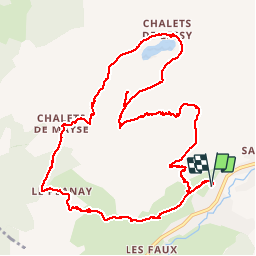
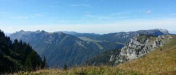
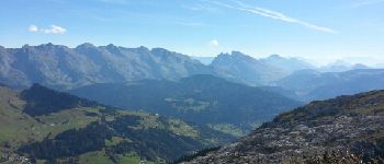
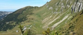
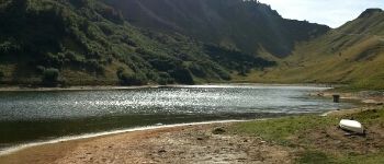
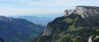
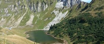
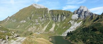
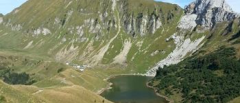
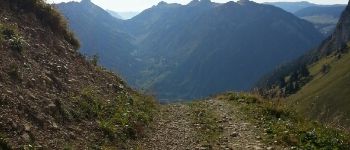
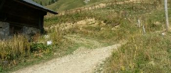
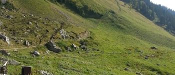
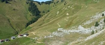
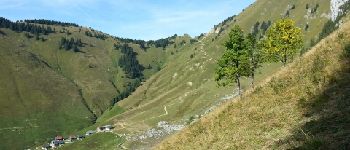
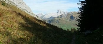
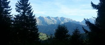
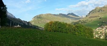
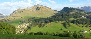
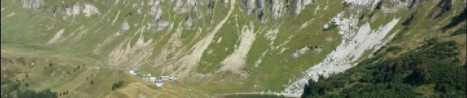
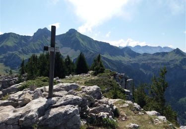
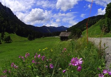
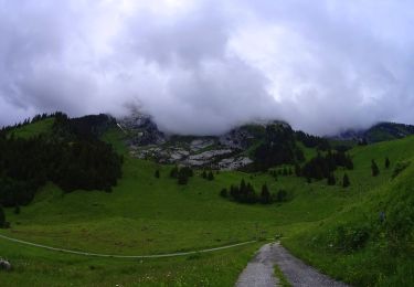
Trail Walking of 13.2 km to be discovered at Auvergne-Rhône-Alpes, Upper Savoy, Le Grand-Bornand. This trail is proposed by lambert4zones.
Montée par l'aiguille Verte et descente par les chalets de Mayse


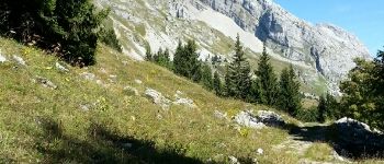
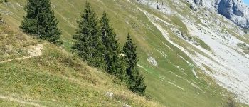
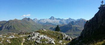
23 photos in total. Please click on a photo to see them all in the gallery.
Walking
Mountain bike
Mountain bike
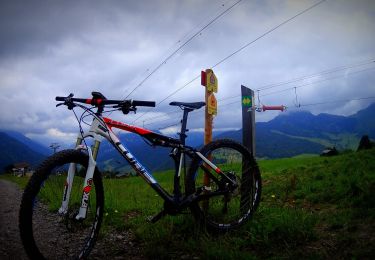
Mountain bike
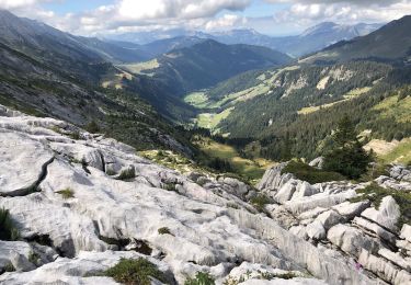
Walking
Mountain bike

Walking

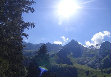
Snowshoes

Walking